Subject: Eastern Washington
Period: 1948 (dated)
Publication:
Color: Printed Color
Size:
16.5 x 21.3 inches
41.9 x 54.1 cm
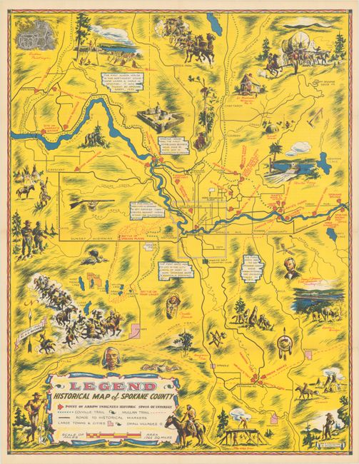
This boldly-colored pictorial map of the Spokane region was drawn by Carl Kragelund and published by E.T. Becher. It is filled with historical notations and illustrations featuring important sites, wildlife, a fierce battle scene, covered wagon, and more. Red block arrows point at “spots of interest” particularly along the Spokane River. The legend at bottom left further identifies the Colville Trail, Mullan Trail, roads, and more. Verso includes a promotional letter, historical text, and unaddressed mailer. Self-folding (5.5 x 8.5”).
References:
Condition: B+
Bold coloring on a bright sheet with a 1.25" fold separation above the title cartouche that has been closed on verso with archival tape. Issued folding.


