Subject: Western West Virginia
Period: 1854 (published)
Publication:
Color: Black & White
Size:
28.4 x 20 inches
72.1 x 50.8 cm
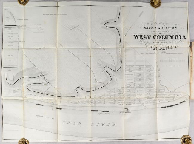
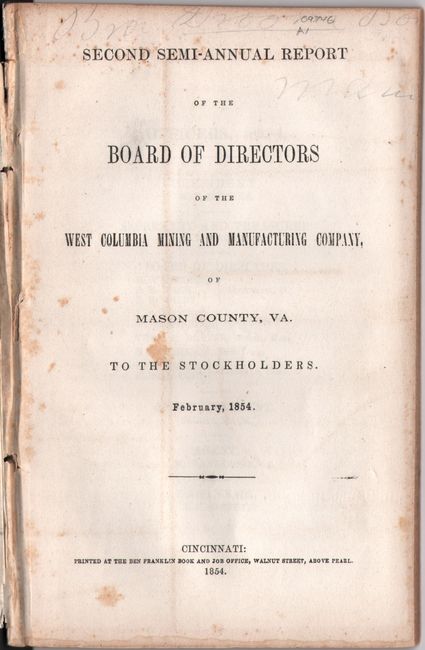
This folding map served as the frontispiece to the second semi-annual report of the short-lived West Columbia Mining and Manufacturing Company, and presents the planned addition to the existing town of West Columbia along banks of the Ohio River. The extension was driven primarily to house the growing number of miners and mechanics that the company employed. Up to this point, the company had a "lack of a sufficiency of such locations," which was "a matter of serious concern to the Board." 625 lots are shown nestled between the Ohio River, Ten Mile Creek, and the company's mining operations. The map further locates a "marine railway", Rode House Furnace, several caves, and an "Out Cropping of the Main Coal." A geological cross-section at top left reveals the depths of various coal deposits. Drawn by Randal Rickey and lithographed by Klauprech & Menzel's Lithography in Cincinnati. 80 pages. Disbound.
References:
Condition: A
The folding map is remarkably clean and bright with minor offsetting, faint creasing, and a short binding tear at lower right. Disbound text is also very clean with minor foxing on the title page.


