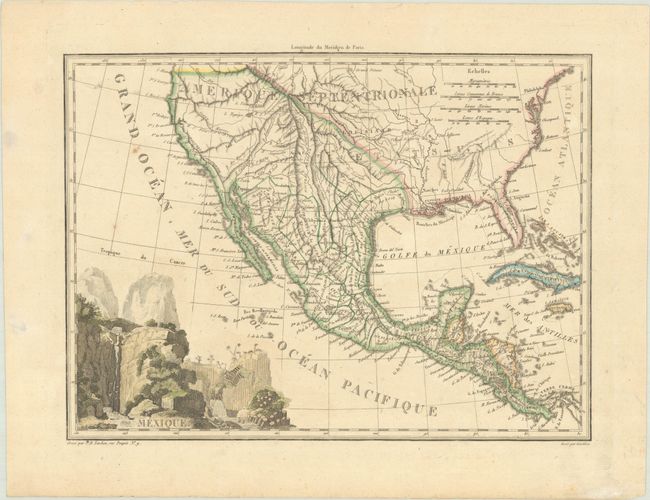
Subject: United States & Mexico, Texas
Period: 1808 (circa)
Publication:
Color: Hand Color
Size:
11.9 x 8.8 inches
30.2 x 22.4 cm
This very nicely engraved, copper plate map features the Province de Texas with only a few towns identified (S. Jose, Arcaquisas, and Chichi). There is good detail throughout, especially along the coast of California and throughout Mexico. The lakes Timpanogos and Teguyo are located, with a conjectural river connecting Teguyo to San Francisco Bay. Florida is still divided into Occidentale and Orientale. The title is surrounded by a large vignette of falls and cliffs. Lettering by Giraldon.
References: Day (TX), p. 9.
Condition: A
A nice impression with contemporary outline color in the map and later color in the cartouche, with a few light unobtrusive spots and a hint of toning.


