Subject: Southern United States, Mexico & Central America
Period: 1701 (circa)
Publication: A System of Geography...
Color: Hand Color
Size:
7.2 x 6.5 inches
18.3 x 16.5 cm
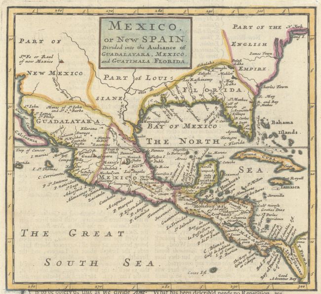
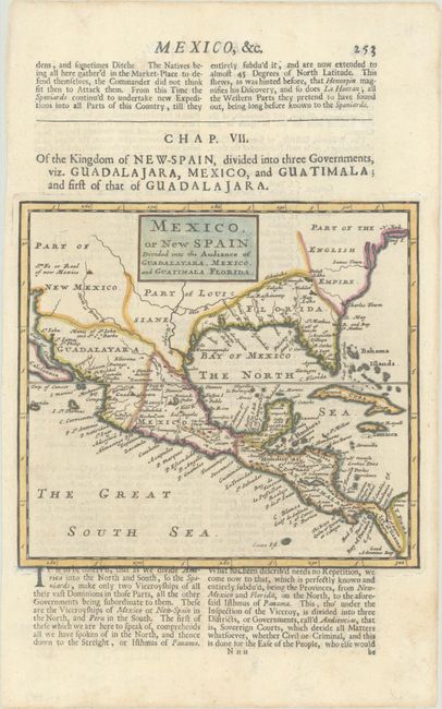
This uncommon, copper-engraved map includes good detail throughout Mexico and Central America, with minimal information further north. The English Empire is shown beginning near Charles Town in the Carolinas and continuing north beyond N. York and Long I. The Spanish possession of Florida extends far west to Louisiana. The region of Texas is named Part of Louisiane, with the Mississippi River depicted too far west (based upon La Salle), and the Ohio River flowing across Texas into the Mississippi River. The southwest is named Part of New Mexico and Santa Fe is the only place noted. Although only part of California is shown, it is assumed that it is in the form of an island because Moll depicts California as an island on his other maps. On a sheet of English text measuring 7.8 x 12.5".
References: Shirley (BL Atlases) T.MOLL-1b #36.
Condition: A
A nice impression on watermarked paper with a short printer's crease and marginal soiling.


