Subject: Bahamas
Period: 1842 (dated)
Publication:
Color: Black & White
Size:
36.3 x 24.4 inches
92.2 x 62 cm
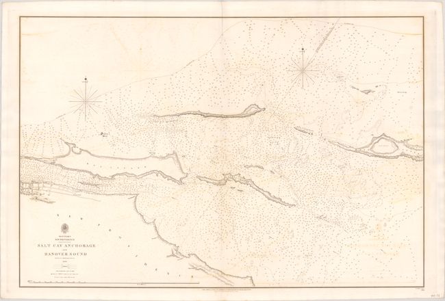
This detailed chart is based on a survey by Commander Richard Owen and spans from Nassau (depicted in miniature plan form) to Rose Island. It shows Paradise Island (here called Hog Island), Athol Island, Salt Cay, and several smaller islands and rocks. The chart is teeming with navigational information, including depth soundings, currents, the "100 fathom line," anchorages, and coral, rocks, and other bottom types. A line connects a "Remarkable Conical Bush" on the coast of New Providence with a "Single Cocoa Nut Tree" on Athol Island and onwards through Hanover Sound. Originally published in 1836, this example has been updated to 1842. Engraved by J. & C. Walker.
References:
Condition: B+
A fine impression on a bright sheet with light offsetting.


