Catalog Archive
Auction 197, Lot 354

NO RESERVE

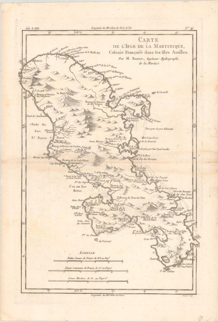
"Carte de l'Isle de la Martinique, Colonie Francoise dans les Isles Antilles", Bonne, Rigobert
Subject: Martinique

Period: 1779 (circa)

Publication:

Color: Black & White

Size:
8.7 x 12.8 inches
22.1 x 32.5 cm
Download High Resolution Image
(or just click on image to launch the Zoom viewer)

This handsome copper engraved map of Martinique features nice detail along the shoreline with mountains and watershed shown in the interior. It locates anchorages, towns, batteries, and forts. There are three distance scales at bottom.

References:

Condition: B+

There is light toning along the centerfold, minor foxing, and a couple small wormholes in the blank margins.

Estimate: $70 - $90

Sold for: $26

Closed on 4/24/2024

Archived