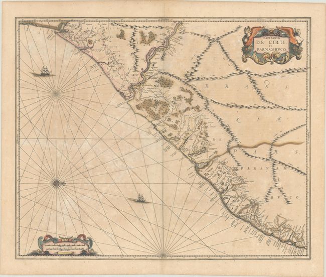
Subject: Northeastern Brazil
Period: 1659 (published)
Publication: Atlas Novus
Color: Hand Color
Size:
21.4 x 17.5 inches
54.4 x 44.5 cm
This rare chart of the Captaincies of Ceara and Pernambuco extends from the Rio Formosa to the Rio Estremo and is centered on the Rio de San Francisco. Much information is derived from maps drawn for the Dutch West Indies Company during its bid to rest control of the region from the Portuguese. North is oriented to the right of the chart by a compass rose. It is finely adorned with two cartouches and sailing ships. From the Latin edition of 1659; the verso is blank except for a punch-stamped signature.
References: Van der Krogt (Vol. I) #9860.1.
Condition: B
A fine impression in full contemporary color on a lightly toned sheet with light dampstaining and foxing. There is cracking due to the oxidation of the green pigment, including a 7" crack at right, that have all been reinforced on verso with archival materials. The paper is still relatively supple.


