Subject: Bermuda
Period: 1706 (dated)
Publication:
Color: Black & White
Size:
9.1 x 6.1 inches
23.1 x 15.5 cm
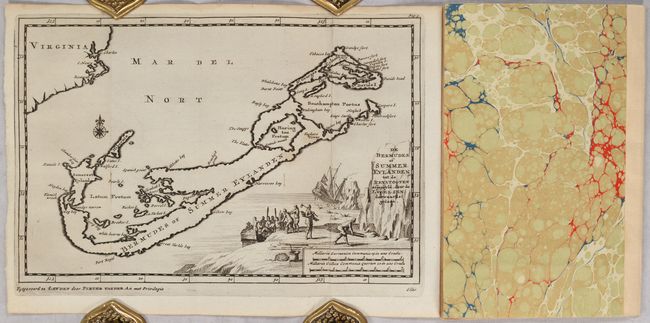
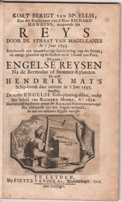
This is the first state of this charming small map of Bermuda. As is typical of the period, this map depicts the coast of Virginia on the same scale, thus presenting a distorted view the island's size and location. It is embellished with a scene depicting the shipwreck of Admiral Sir George Somers in 1609 that takes up the bottom right portion of the map. In June 1609, Somers set sail with a fleet assigned to bring supplies to the Jamestown colony. On July 28, his ship, the Sea Venture, washed up on the reefs of Bermuda after taking on too much water in a hurricane. Somers and his men remained in Bermuda for several months, setting the stage for the colony there. The map appears in a disbound 26-page volume that is part of Van der Aa's larger collection of voyages Naaukeurige Versameling Der Gedenk-Waardigste Zee En Landreysen Na Oost En West-Indies... It features Dutch text describing the origins of the English colony in Bermuda. Title page features a small allegorical engraving by J. Goeree. 29 pages. Soft marbled wrappers with a linen spine.
References: MapForum.com #3 (Checklist of Printed Maps of Bermuda) #45.
Condition: A
The condition grade is for the map, which is a fine impression, issued folding with an extensive right margin. There is minor dampstaining in the top blank margin. The text is lightly foxed. Front endpaper has two bovine stamps of "G. Van Overmeir Vee Handelaar Hulst." Wrappers have minimal wear.


