Subject: Northeastern England & Scotland
Period: 1878 (dated)
Publication:
Color: Black & White
Size:
79.6 x 41.3 inches
202.2 x 104.9 cm
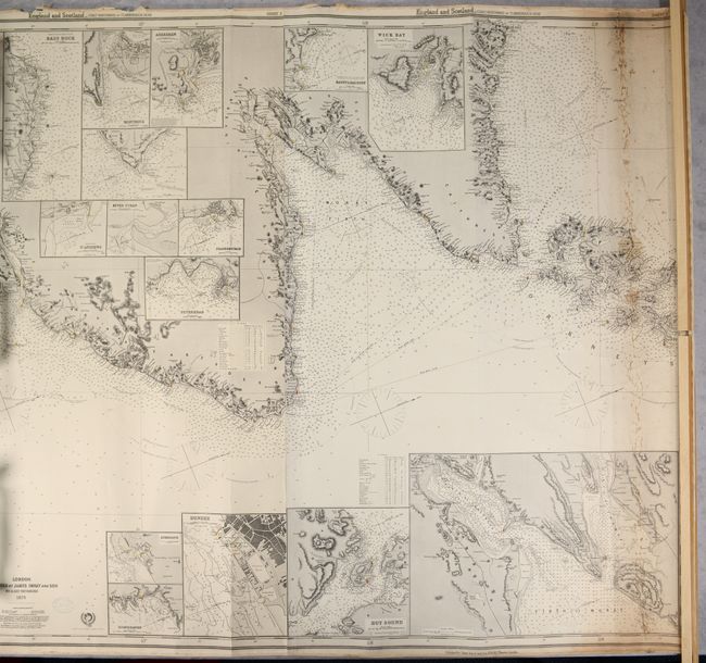
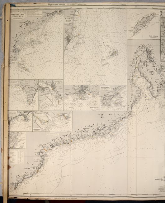
This impressive, three-sheet blueback nautical chart extends from Yorkshire north along the Scottish coastline including Edinburgh, Aberdeen, Wick and the southern Orkney Islands. It is teeming with navigational details including soundings, currents, hazards, magnetic variation, offshore islands, and more. Lighthouses are marked in original yellow and red hand coloring with radiating circles to indicate how far light can be seen at sea. A remarkable 25 insets surround the chart to provide detail on a larger-scale including the Farn Islands, St. Andrews, and Hoy Sound to name a few. A note below the title shows Imray's devotion to accuracy: "The Publishers respectfully request communications that may tend to the improvement of this, or any of their works." The yellow title label on verso indicates it is "Chart No. 26" at a cost of 12 shillings. Joined on three sheets.
References:
Condition: B
The vast majority of the chart is clean and bright, with some staining at right and lower left. There is a small chip at left with small loss of border and a related 5" edge tear that has been closed on verso with non-archival tape. There is a 1" edge tear at lower left and additional small chips in the blank margins. The ribbon edging is loose or missing in several places.


