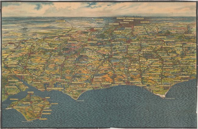
Subject: Southern England
Period: 1935 (circa)
Publication:
Color: Printed Color
Size:
34.6 x 22.7 inches
87.9 x 57.7 cm
This rare and terrific bird's-eye view of the English coast spans from Southampton to Hastings and extends inland as far as London and its suburbs. The Isle of Wright is depicted in its entirety as well. The sea and landscape are illustrated in a fine graphic style. Railroads are shown connecting the various town and cities, and castles, race courses, and other attractions are located. No artist or publisher is indicated on the map, but it is possible that this was a promotional item issued by one of the British railways.
References:
Condition: B
Issued folding, now flat, with some edge tears and fold separations that have been closed on verso with archival materials, including a long separation at right and a 3" tear at bottom. The border is trimmed at bottom.


