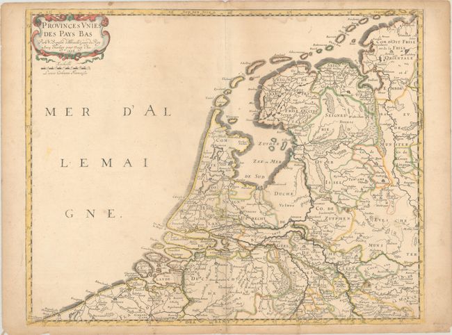
Subject: Netherlands
Period: 1648 (dated)
Publication: Cartes Generales de Toutes les Parties du Monde
Color: Hand Color
Size:
20.2 x 16 inches
51.3 x 40.6 cm
This map of the Netherlands focuses on political boundaries, rivers, and towns. The map extends south to Gent and Antwerp in Belgium and as far east as Dortmund and Munster in Germany. The North Sea is labeled Mer d'Allemaigne. Embellished with a simple strapwork cartouche. This is the first state, dated 1648.
References: Pastoureau, SANSON V A [51].
Condition: B
Contemporary outline color in the map with later color in the cartouche on a lightly toned sheet with a bunch of grapes watermark. There is an extraneous crease to the right of the centerfold, several small stains, and an archivally repaired centerfold separation.