Catalog Archive
Auction 197, Lot 518
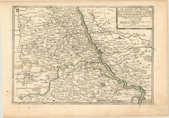
"[Lot of 2] Le Cours du Rhein Depuis Cologne, Jusques a Rheinberg, ou se Trouvent le Bas Electorat de Cologne... [and] ...Depuis Coblens Jusques a Cologne, ou se Trouvent Partie des Archhevechez et Electorats de Treves...", Fer, Nicolas de
Subject: Western Germany, Rhine River
Period: 1702-05 (dated)
Publication:
Color: Hand Color
Size:
13.1 x 9.3 inches
33.3 x 23.6 cm
Download High Resolution Image
(or just click on image to launch the Zoom viewer)
(or just click on image to launch the Zoom viewer)


