Catalog Archive
Auction 197, Lot 605

"Carte Touristique du Liban"
Subject: Lebanon

Period: 1954 (dated)

Publication:

Color: Printed Color

Size:
27.1 x 36.3 inches
68.8 x 92.2 cm
Download High Resolution Image
(or just click on image to launch the Zoom viewer)

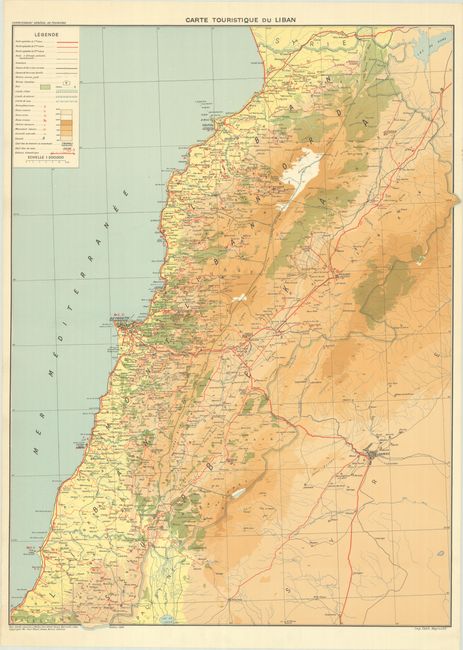
This detailed French-language tourist map of Lebanon by Paul Khalil Aouad was printed in Beirut. It locates Tripoli, Beirut, Sidon, Tyre, Baalbek, and several smaller towns and cities, and extends into Syria to show Damascus. The legend identifies various roads, railways, airfields, boundaries, ruins (Phoenician, Roman, Arabic, and from the Crusades), seaside resorts, Lebanese monuments, waterfalls, elevation, and much more.

References:

Condition: A

A clean and colorful example with a few tiny edge tears in the blank margins.

Estimate: $220 - $250

Sold for: $160

Closed on 4/24/2024

Archived