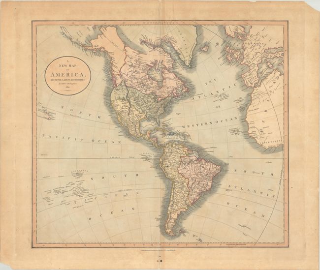
Subject: Western Hemisphere - America
Period: 1821 (dated)
Publication: New Universal Atlas
Color: Hand Color
Size:
20.6 x 18.3 inches
52.3 x 46.5 cm
This attractive and uncommon later edition of Cary's atlas map of the Americas shows the United States extending to the West Coast (here labeled New Albion). The United States' claims push into present-day Canada, reflecting the Oregon boundary dispute. Present-day Texas and the Southwest are still part of Mexico. Lake Timpanogos appears north of an incomplete Salt Lake, which is part of Mexico's territorial claims. Alaska is coming into form and the Aleutian Islands are well developed. The map extends to show all of South America, the Sandwich Isles, Society Islands, and Dangerous Archipelago, western Europe, and northwestern Africa. A note near Owhyhee commemorates the death of Captain Cook. The mythical Lake Parime appears in South America.
References:
Condition: B
Full contemporary color on a moderately toned sheet backed in archival tissue, repairing centerfold separations and short associated tears at top and bottom. There are a couple light spots.


