Catalog Archive
Auction 197, Lot 655
"Map Showing Operations of Second Division, 8th Army Corps from March 1st to May 31st 1899 Major-General Arthur MacArthur Commanding…", U.S. War Department
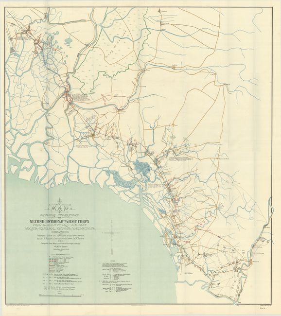
Subject: Philippines
Period: 1899 (circa)
Publication: War Dept. Annual Report, 56th Congress, 1st Session
Color: Printed Color
Size:
26.7 x 30.1 inches
67.8 x 76.5 cm
Download High Resolution Image
(or just click on image to launch the Zoom viewer)
(or just click on image to launch the Zoom viewer)