Subject: Morocco
Period: 1955 (dated)
Publication:
Color: Printed Color
Size:
23.5 x 17.1 inches
59.7 x 43.4 cm
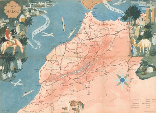
This gorgeous French tourist map of Morocco was created by Robert A. Genicot and issued by the "Office National Marocain du Tourisme." The map highlights the key cities, roads, and railroads to assist travelers in planning their trip. It is surrounded by lovely vignettes showcasing the vibrant people, places, and culture to be found in Morocco. On verso is a large table of distances between the major cities in Morocco. Published by E. Desfosses-Neogravure in Paris.
References:
Condition: A
Issued folding with light wear along the folds and a few short splits at fold intersections.


