Subject: Road Atlas
Period: 1910 (dated)
Publication:
Color: Black & White
Size:
4.4 x 9.4 inches
11.2 x 23.9 cm
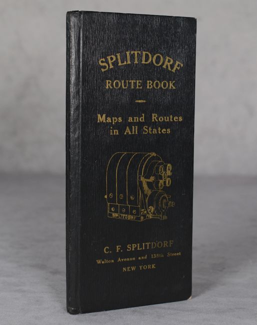
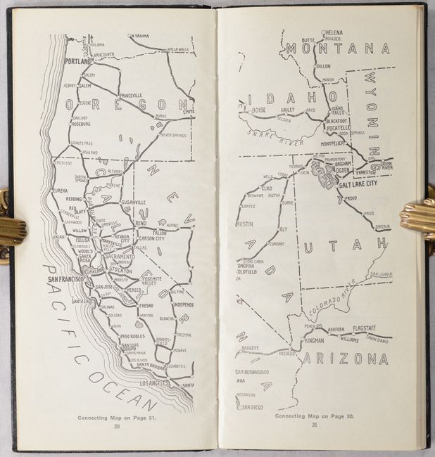
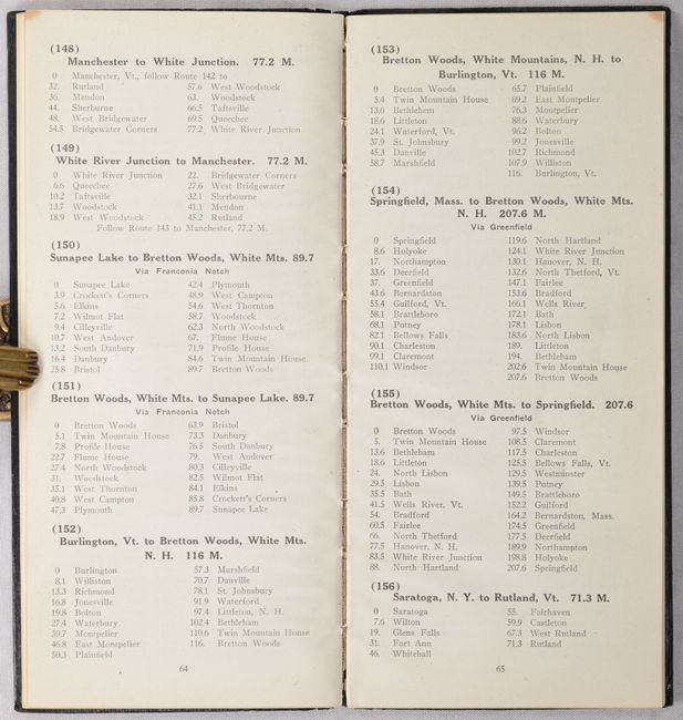
This very early road atlas by C.F. Splitdorf contains 14 maps covering various regions in the United States. There are 7 maps of the Northeast, 3 of the Midwest, 2 of the Southeast, and 2 of the West. Accompanying the maps are 106 pages listing 605 different routes, an 18-page index to routes, and a 6-page “Digest and Analysis of Motor Vehicle Laws of the Various States.” Features full-page ads for the “Splitdorf Magneto” (starter) and “Splitdorf Common Sense Plug” (spark plug) at the front and back of the volume. Circa date is based upon a date in the latter advertisement. 144 pages. Hardbound in gilt-stamped leatherette. We found no past sales records for this atlas and only 4 institutional examples on OCLC.
References:
Condition: A
Contents are clean and bright. Text block is cracked, and covers have light wear.


