Subject: References, Scotland
Period: 2011-16 (published)
Publication:
Color: Printed Color
Size:
10 x 10.1 inches
25.4 x 25.7 cm
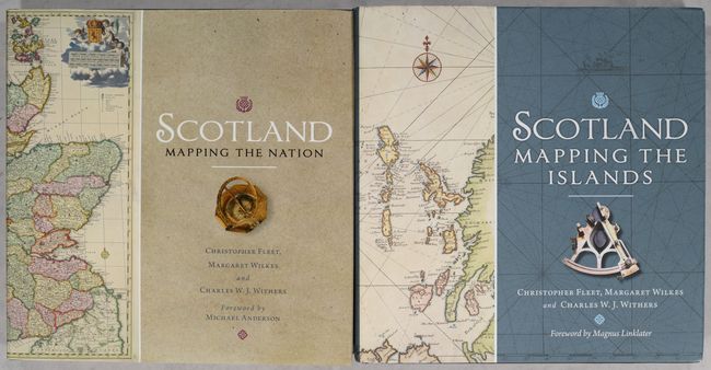
This in-depth pair of references by Christopher Fleet, Margaret Wilkes, and Charles W.J. Withers chronicles the history of the mapping of Scotland. Mapping the Nation covers the mapping of Scotland from Ptolemy and medieval world maps to the modern age, with chapters on towns and cities, the islands, travel and communications, scientific maps, cartographic depictions of Scotland in popular culture, and much more. Mapping the Islands zeroes in on Scotland's remote islands, emphasizing topics such as place naming, defense, natural resources, navigation, and tourism. Both volumes feature color illustrations of maps drawn from the collection of the National Library of Scotland. Essential references for anyone interested in maps of Scotland. Published by Birlinn, in association with the National Library of Scotland. Mapping the Nation: 318 pages.; Mapping the Islands: 244 pages. Both volumes are hardbound in black cloth with gilt titles on spines and illustrated dust jackets.
References:
Condition: A
Near fine, with slightly bumped corners.


