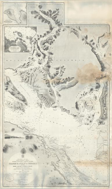
Subject: Strait of Georgia
Period: 1865 (dated)
Publication:
Color: Black & White
Size:
26.4 x 44.5 inches
67.1 x 113 cm
This large and highly detailed chart covers the western Strait of Georgia, extending from Texada Island east to Bowen and Bambier islands just to the west of Vancouver. it extends north up the Jervis Inlet to Mt. Alfred and Mt. Albert. The chart shows excellent detail along the rugged coastlines, and is filled with navigational information including soundings, anchorages, bottom types, hazards, and more. A few lighthouses are indicated by red and yellow dots. At top are insets of Buccaneer Bay and Tucker Bay. Drawn by E.J. Powell and engraved by Davies & Powell. First published in 1863 with additions and corrections to 1865. Seller's stamp at bottom left.
References:
Condition: B
Professionally cleaned an backed with heavy linen to repair a few fold separations and restore numerous chips along the right edge with some border drawn in facsimile. There are dampstains at right. The grayish hue at top and bottom of the image are caused by our scanner and not present on the physical map.


