Subject: United States
Period: 1861 (dated)
Publication:
Color: Hand Color
Size:
68 x 67 inches
172.7 x 170.2 cm
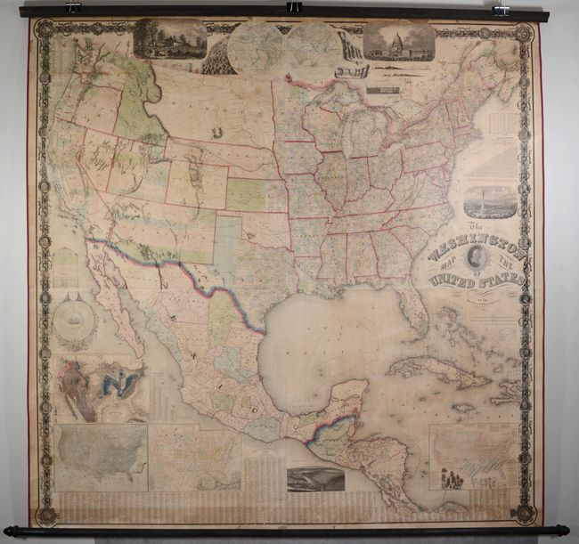
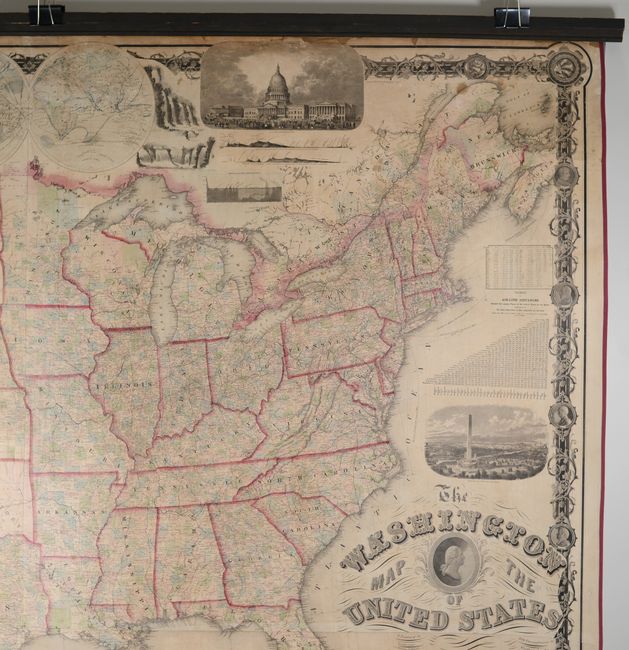
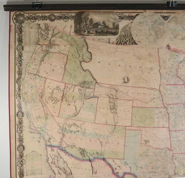
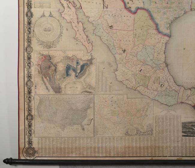
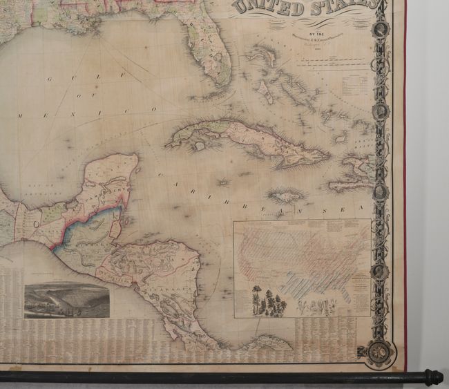
This highly impressive Civil War era wall map was originally constructed by Matthew Fontaine Maury in 1860 and subsequently revised and published here by S. Taintor & Company. Maury's portrait and name were removed in 1861 following his decision to join the Confederate Navy. This information-packed map features some evolving territorial configurations in the west including Washington Territory in its inverted "L" shape, a huge Dakota Territory including present-day Montana, an elongated Nebraska stretching to an oversized Utah Territory, and New Mexico Territory incorporating the southern tip of Nevada. A legend at right further identifies state capitals, cities and towns, railroads, canals, mail routes, wagon roads, boundaries and more. Numerous inset maps fill the blank spaces including a world in hemispheres at top and several thematic maps of the United States at bottom including vegetation, zoological distribution, precipitation and geology. Statistical tables highlight population, mileages between major cities, forts, and a time dial. Several illustrations and decorative elements compliment the map including views to stoke patriotism including Mt. Vernon, Capitol Building, proposed Washington Monument, and New York City. The map's decorative borders include portraits of all the U.S. presidents to date including Washington, Jefferson and Lincoln. Original rollers are present and intact. A magnificent wall map that is as decorative as it is informative, issued at the onset of the Civil War.
References: Schwartz & Ehrenberg pp. 287-88; cf. Phillips (Maps) p. 909.
Condition: B+
The map has been professionally conserved with new linen backing and ribbon edging. There is some light staining throughout, minor foxing, and some light toning running adjacent to the bottom border. There is a small section of loss at upper left (about 4" x 0.3") and several other minor areas of loss scattered around the upper section of the map not large enough to measure. Original rollers are present and attached. An overall attractive example.