Subject: United States, Texas
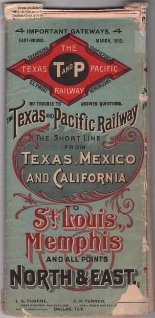
Period: 1902 (dated)
Publication:
Color: Printed Color
Size:
27.1 x 13.4 inches
68.8 x 34 cm
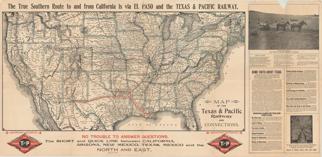
This map covers the entire railroad network in the United States, with particular emphasis on the Texas & Pacific Railway. The railroad extends from New Orleans to El Paso in red overprinting with a loop line linking Texarkana. The map shows connections to St. Louis, Kansas City and points west in black overprinting. Text beneath the map touts the railroad as "The Short and Quick Line between California, Arizona, New Mexico, Texas, Mexico, and the North and East." Flanking the map at right are "Some Facts About Texas" and photo illustration "Harvest Scene on Line of The Texas & Pacific Railway in Texas." Verso contains time tables and related text. Self-folding (3.9 x 8.7").
The Texas & Pacific Railroad was established in 1871 with the purpose of building a southern transcontinental railroad from Marshall, Texas to San Diego. It made it as far as El Paso in 1881, at which point it met up with the Southern Pacific Railroad for points west. The railroad was majority owned by the Missouri Pacific Railroad beginning in 1928, but wasn't absorbed into that company until 1976. It is now part of the Union Pacific Railroad.
References:
Condition: B
Issued folding with numerous small fold separations that have been closed on verso with archival tape. There are a few minor spots in the image and a chip in the top border of the illustration flanking the map at upper right (on verso this chip is on the brochure cover).