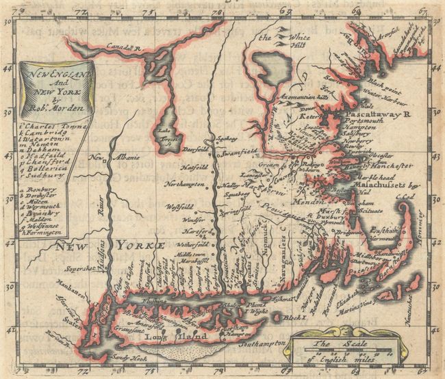
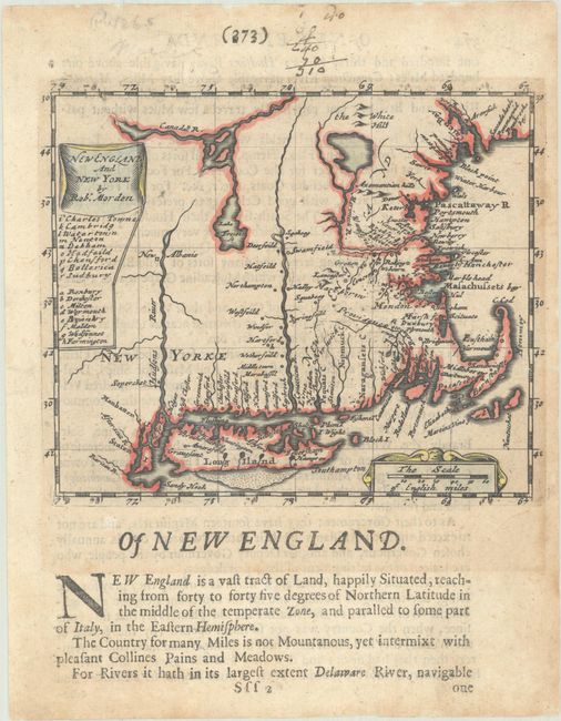
Subject: Colonial New England United States
Period: 1680 (circa)
Publication: Geography Rectified
Color: Hand Color
Size:
5.3 x 4.5 inches
13.5 x 11.4 cm
This uncommon little map of New England and Long Island is centered on the Connecticut River. It was issued in the first edition of Morden's uncommon miniature world atlas. The map is an excellent example of the lack of accurate geographical information during this period, particularly in the interior where three large lakes (Lake Irocoise and two unnamed) dominate the landscape. The title is enclosed in a drape-style cartouche at upper left with a table of major cities below. Distance scale in a strapwork cartouche at lower right. On a sheet of English text measuring 5.8 x 7.4".
References: King (2nd ed.) pp.148-9; McCorkle #680.5; Shirley (BL Atlases) T.MORD-2a #54.
Condition: A
A crisp impression on watermarked paper with light toning, ink manuscript notations in the top blank margin, and a couple of tiny edge tears at right that have been archivally repaired on verso.