Subject: Mid-Atlantic United States, Virginia, Civil War
Period: 1867 (dated)
Publication:
Color: Printed Color
This complete disbound atlas contains 16 highly detailed Civil War maps focused primarily on the Virginia campaigns carried out by the Armies of the Potomac and James. Included are a large index map, 13 double-page maps, and 1 single-page map. Each is highly detailed showing troop positions, battle lines, fortifications, property owners, and remarkable topographical information. The full list of maps includes:
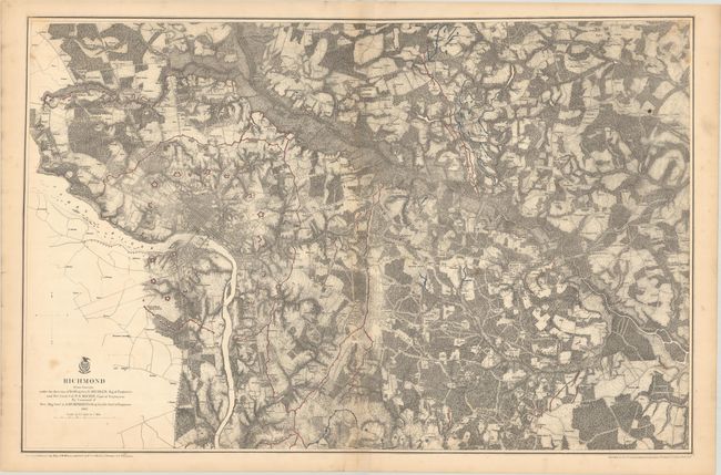
Richmond (33.1 x 21.6”). This detailed, large-format map of the vicinity of Richmond extends eastward about 16 miles to include all battle lines in color. Shows common roads, railroads, and fortifications (Union in blue; Confederate in red). Richmond and Manchester are shown with street detail with a ring of heavy fortifications surrounding both. A concentration of troops is shown north of the Chickahominy River near New Cold Harbor and Old Cold Harbor.
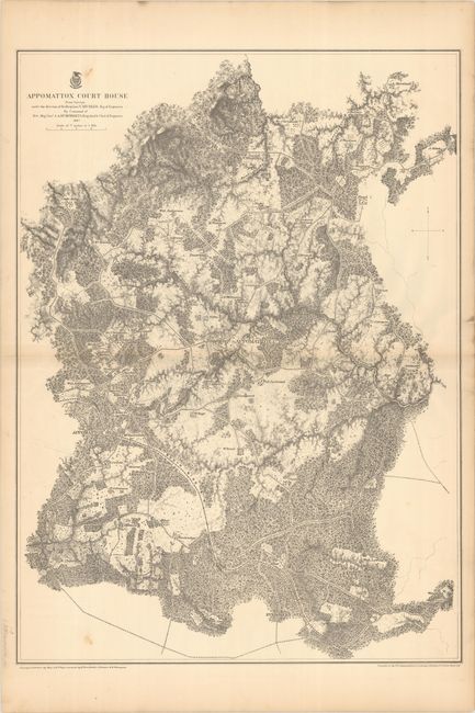
Appomattox Court House (22.2 x 30.4”). This was one of the last battles of the war. The map is finely detailed showing roads, railroads, houses, names of residences, drainage and woodlands. The map was made from surveys under the direction of Bvt. Brig. Gen. N. Michler, Maj. of Engineers by command of Major General Andrew A. Humphreys.
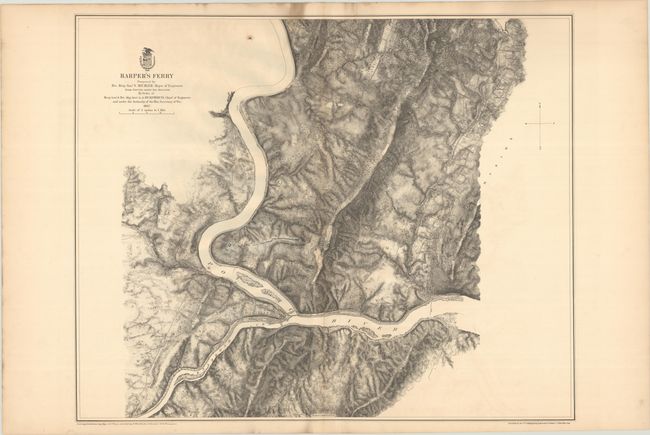
Harper’s Ferry (27.2 x 22.1”). The skillful use of hachure dramatizes the terrain at the intersection of the Potomac and Shenandoah Rivers at Harpers Ferry, West Virginia. The map is centered on Fort Duncan and Stone Fort which are printed in blue indicating the area was in Union control. The map identifies residents, railroads, roads and terrain features.
Fredericksburg (21.6 x 32.2”)
Chancellorville (24.3 x 20.8”)
The Wilderness (18.2 x 30.1”)
Spotsylvania Court House (31.1 x 19.6”)
North Anna (18.6 x 15.6”). Single-page map.
Totopotomoy (32.7 x 20.2”)
Cold Harbor (32.5 x 19.7”)
Bermuda Hundred (28.8 x 19.1”)
Petersburg and Five Forks (33.5 x 21.5”)
Jetersville and Sailors Creek (34 x 19.8”)
High Bridge and Farmville (30.1 x 21.5”)
Antietam (25.6 x 22.2”)
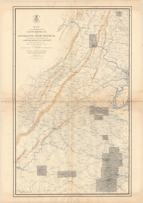
Map of the Region between Gettysburg, PA. and Appomattox Court House, VA. (27 x 43.5”). Index sheet.
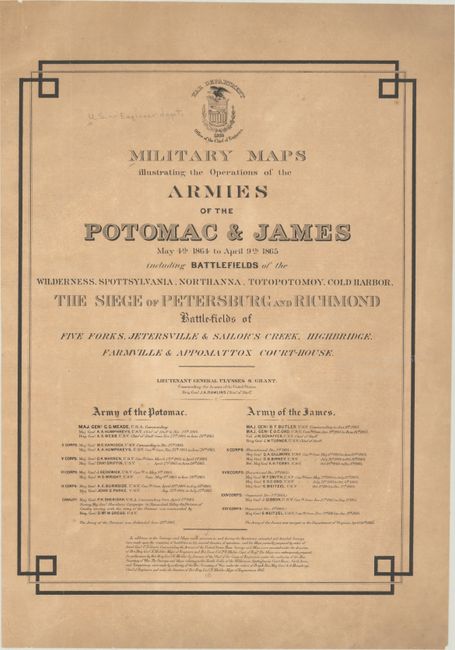
Accompanying the 15 maps is the loose title page.
References: Phillips (Atlases) #3688; Stephenson (Civil War) #518.
Condition: B+
All maps, excluding the index sheet, are very good with some occasional foxing, soiling and/or offsetting. All have a few minor edge tears in the margins that have been archivally repaired on verso. The index map is good (B) with a 4" repaired tear at center, a few closed fold separations, and a number of repaired edge tears mostly at top and bottom with a few just entering the map border. Title page has some toning with a perforated stamp for Indiana University Library.