Subject: Southeastern United States, Civil War
Period: 1864 (circa)
Publication:
Color: Hand Color
Size:
31.4 x 19.8 inches
79.8 x 50.3 cm
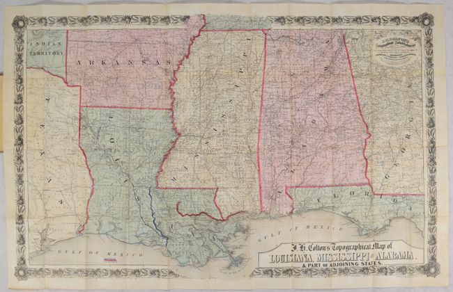
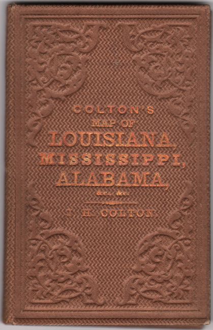
This rare and highly detailed Civil War era map of the South extends from western Georgia and the Florida panhandle west to Indian Territory and eastern Texas. It is filled with up-to-date information including towns, villages, railroads, stage roads, canals, trails, watershed and much more. The map appears to be taken from part of Colton's larger Map of the Southern States (53 x 38") and reduced. It is surrounded by an ornate border with an advertisement for the Colton firm in the upper right corner. Printed by Lang & Cooper in New York. Folds into brown cloth boards (3.7 x 5.7") with gilt title on the front cover.
This example is notable for its manuscript additions in Louisiana, which show some of the main thrusts of the Red River Campaign in Louisiana. The Red River Campaign was fought between 30,000 Union troops under Major General Nathaniel P. Banks and around 10,000 confederate troops under the command of Lieutenant General Richard Taylor over a three month period (March 10 - May 22, 1864). The campaign was a Union offensive designed to capture Shreveport, cut off Texas from the rest of the Confederacy, confiscate as much cotton as possible for northern use, and implement Lincoln's 10% plan. The campaign was ultimately a Union failure characterized by poor planning and tactical mistakes (which was apparent on both sides). While the campaign didn't have a material impact on the overall war, the use of Union forces in the Red River delayed the capture of Mobile until 1865.
This map is quite rare on the market. We found only 1 past sales listing in the last 40 years and 4 institutional examples on OCLC.
References:
Condition: A
An excellent example, Issued folding, on a clean bright sheet with no tears or separations (which are usually found on pocket maps). Covers have light wear.


