Subject: Southern United States
Period: 1924-25 (published)
Publication:
Color: Black & White
Size:
8.2 x 8.3 inches
20.8 x 21.1 cm
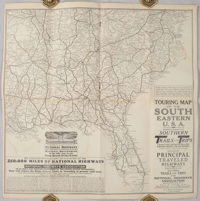
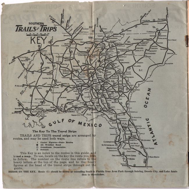
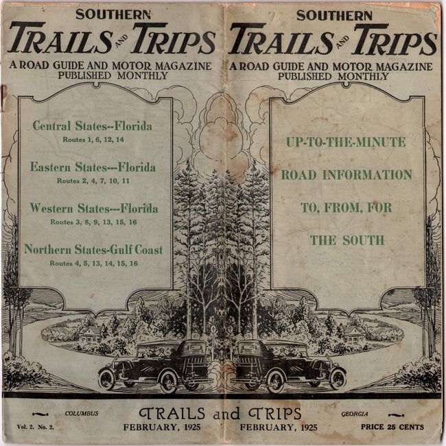
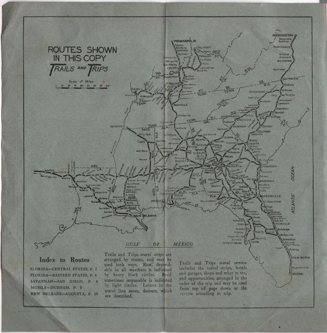
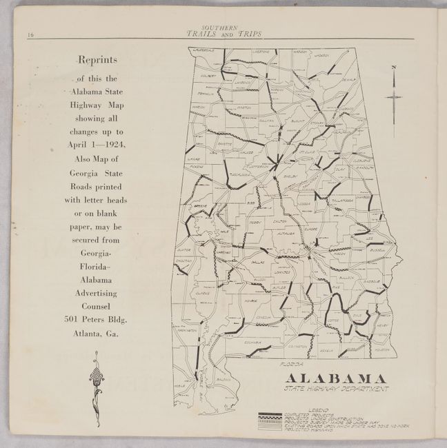
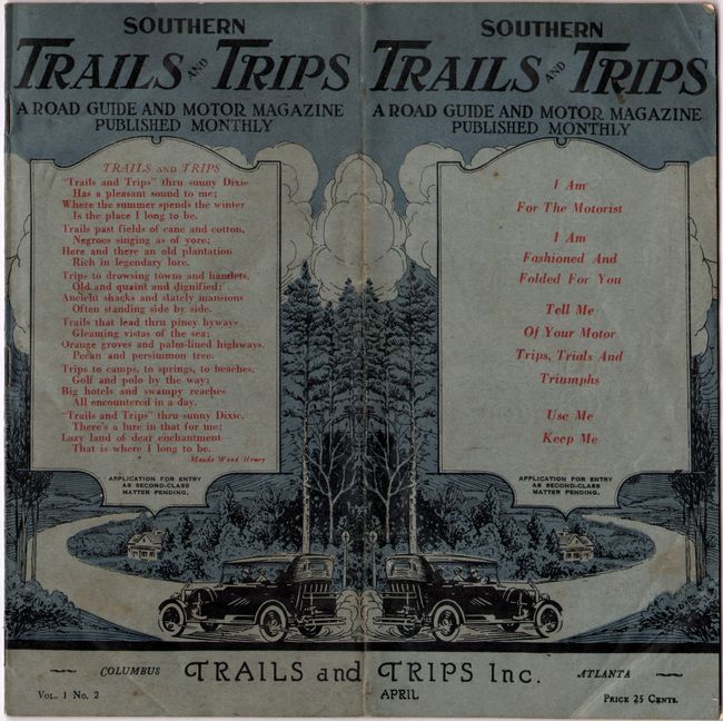
This lot features the April 1924 and February 1925 issues of Southern Trails and Trips, with “up-to-the minute road information to, from, for the South.” Each contains a small series of detailed routes for itineraries mostly in the southern states and are accompanied by additional magazine content including editorials, travel stories, lists of motor clubs, advertisements, and more. The centerfold of the February issue is a Touring Map of the South Eastern U.S.A. (17.2 x 16.8”) by John Mulford that covers the entire Southeast from Washington south to Miami and west to St. Louis and New Orleans. Below the map is extensive promotional text for the National Highways Association, including “The Map Shows Part of a System of 250,000 Miles of National Highways Advocated by the National Highways Association.” The April issue includes a small map of the Southeast on the inside wrapper and a road map of Alabama. 24 pages each with printed pictorial wrappers. The Mulford map does not appear in OCLC and there are only scattered issues of the monthly publication.
References:
Condition: B+
The folding map has some faint dampstains. Text has some light soiling and minor dampstains. Wrappers to the February 1925 issue are detached.


