Catalog Archive
Auction 198, Lot 140

"Dakota Territory Showing Progress of U.S. Land Survey During 1861 62, & 63. Under the Direction of Surveyor General G.D. Hill", General Land Office

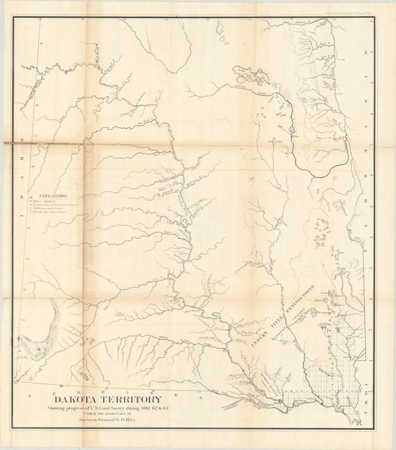
Subject: Dakota Territory

Period: 1864 (circa)

Publication: H.R. Doc. No. 1, 38th Congress, 1st Session

Color: Black & White

Size:
21.1 x 23.8 inches
53.6 x 60.5 cm
Download High Resolution Image
(or just click on image to launch the Zoom viewer)

This very early map shows a small cluster of surveying in the southeastern corner of the territory along the Missouri River. The region just west of this surveyed land is noted as Indian Title Extinguished Yankton Cession with a 400,000 acre Yankton Reserve located across the Missouri River from Ft. Rendall. Nearby, the Ponka Reserve lies between the Niobrara and Ponka Rivers. The balance of the map is largely blank with only detail of the river systems, some topography, and the locations of a few forts and Indian villages along the Missouri River.

References:

Condition: B

Issued folding with light toning along the folds, faint offsetting, and several fold separations that have been closed on verso with old tape.

Estimate: $200 - $230

Sold for: $100

Closed on 6/19/2024

Archived