Subject: Washington, D.C.
Period: 1916 (published)
Publication:
Color: Printed Color
Size:
32 x 24 inches
81.3 x 61 cm
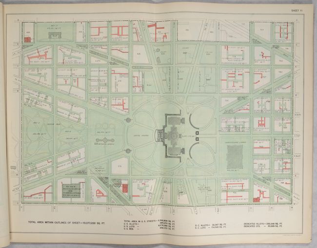
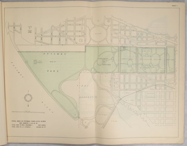
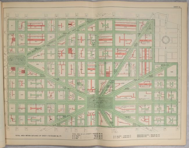
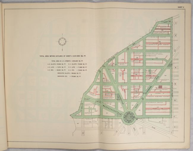
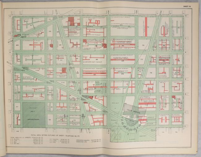
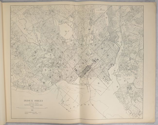
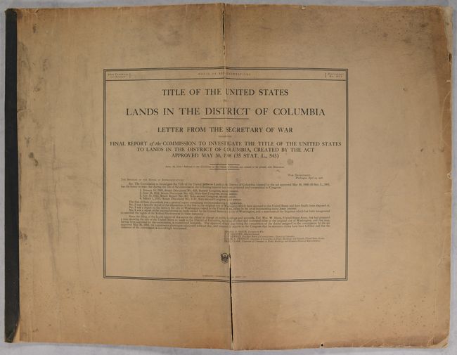
This rare set of maps was drawn to accompany the Report of the Commission to Investigate Title of U.S. Lands in District of Columbia. It contains a title page, Notes, a black & white index map, and 41 large maps in red and green printed color that cover the nation's capital city in astonishing detail. Through the use of line and color, the legend identifies alleys, streets, and lots belonging to the federal government (printed in green) or district government (printed in red). The Notes page is signed in the plate by Colonel Wm. W. Harts, Superintendent Public Buildings and Grounds. According to the Notes page, the portion of the map showing the original city is based on the surveys of Melvin C. Hazen, while the outlying areas were compiled by Frederick D. Owen. The set is bound as an oblong double-elephant folio atlas with printed paper wrappers. A set of remarkable maps that was likely published in a small quantity.
References:
Condition:
The index map and first 35 sheets are in near fine condition (A) with minor marginal toning and occasional minor soiling. The atlas has been folded down the middle, with a soft vertical crease across all maps. Sheets 36-41 are in good condition (B) with each having a 19" tear that has been partially repaired on verso with linen. Title page and notes are lightly toned and soiled with minor dampstaining. Covers are in fair condition (C) as they are toned, soiled, and dampstained, with two long separations along the crease on the front cover and extensive chipping and several tape repairs on the back cover.