Catalog Archive
Auction 198, Lot 20

"The World, on Mercator's Projection", Aikman, George
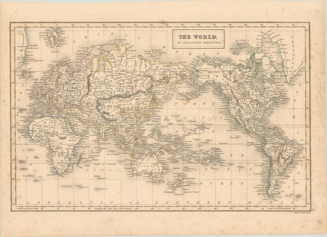
Subject: World

Period: 1835 (circa)

Publication:

Color: Hand Color

Size:
15.9 x 10.1 inches
40.4 x 25.7 cm
Download High Resolution Image
(or just click on image to launch the Zoom viewer)

This world map is centered on the Pacific Ocean and excludes both polar regions. In the United States, Mexico controls the entire Southwest including Texas, and the border with Canada extends south into Oregon Country, reflecting British interests in the region. Alaska is Russian America and is largely devoid of information. There is good detail of cities, rivers and mountains throughout most of the continents, although the interiors of Africa and Australia are mostly blank.

References:

Condition: B

Scattered foxing throughout.

Estimate: $100 - $130

Sold for: $50

Closed on 6/19/2024

Archived