Subject: Hawaii
Period: 1931-35 (circa)
Publication:
Color: Printed Color
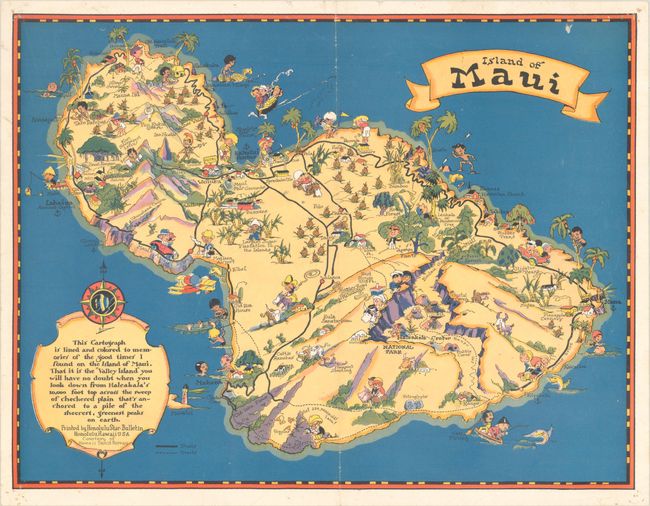
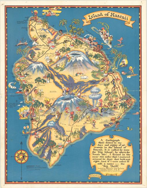
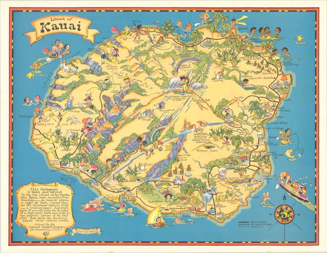
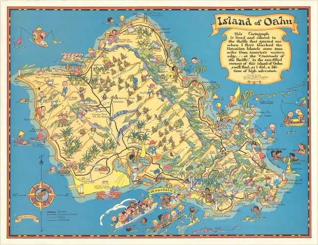
These very colorful and decorative maps showing the four main islands of Hawaii are drawn in a whimsical, humorous style much like Jo Mora's celebrated work of the same period. Cartoonish characters populate each with major roads and points of interest noted, which actually make them fairly useful maps for the tourist. Each has a ribbon title banner and a descriptive cartouche. Issued by the Hawaii Tourist Bureau. The maps of Maui and Hawaii were published in 1931 and printed by the Honolulu Star Bulletin. The Kauai and Oahu maps are later examples, published circa 1935. Blank versos.
A. Island of Maui, published 1931 (14.8 x 11.3"). Condition: There is an extraneous vertical crease with some light wear, a faint manuscript ink notation north of the island, and some small holes, including one above the cartouche and a few in the corners of the sheet. (B+)
B. Island of Hawaii, published 1931 (11.3 x 14.8"). Condition: There is an extraneous horizontal crease with some light wear and small tack holes in the corners of the sheet, with a couple that just touch the map's neatline. (B+)
C. Island of Kauai, circa 1935 (14.7 x 11.3"). Condition: A bright and crisp example, near fine. (A)
D. Island of Oahu, circa 1935 (14.8 x 11.3"). Condition: A bright and crisp example, near fine. (A)
References: cf. Rumsey #9072.001-004.
Condition:
See description above.


