Subject: Worcester, Massachusetts
Period: 1793 (published)
Publication:
Color: Black & White
Size:
12.3 x 14.1 inches
31.2 x 35.8 cm
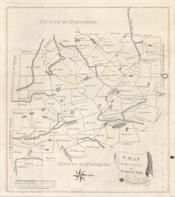
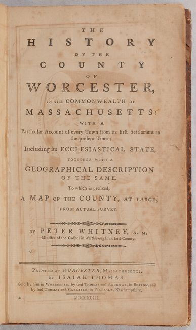
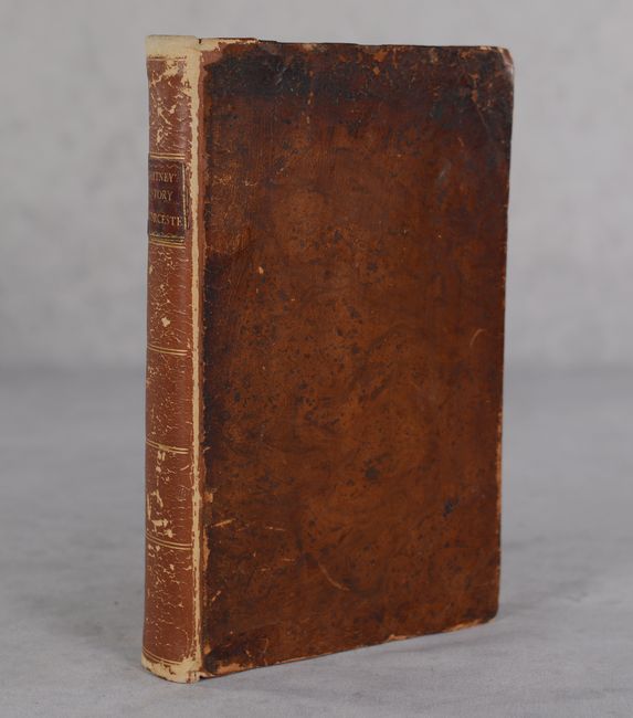
This 339-page volume by Peter Whitney is one of the earliest books to focus on an individual county in the United States. It includes a 25-page history of the county and separate sections describing each of its 49 townships. The volume is accompanied by a county map drawn by Charles Baker and Captain John Pierce showing the townships and their boundaries. Rivers, lakes and ponds are depicted and an early “County Road” is shown crossing the county in an east/west direction. North is oriented to the right and neighboring states are listed along the county borders to further orient the reader. Rebacked with original leather boards.
This example is notable for being the author’s personal copy. On the front free endpaper is an inscription giving the book to his daughter: “Sally Whitney from her father Reverend Peter Whitney, Northborough”. An additional note from 1912 is pasted on the same endpaper indicating that this book was given to Philip Whitney, cousin to George Whitney who was the son of Sally Brackett (Whitney).
References: Wheat & Brun #211; Howes #W-391; Sabin #103769.
Condition:
The folding map is on a bright sheet with a "JSB" watermark. There is light offsetting, a number of short fold separations that have been closed on verso with archival tape, and a 1" repaired binding tear at bottom. Text is toned and foxed. Rebacked with original boards. Binding is scuffed and worn. Map: B+ / Book: B