Subject: Texas, Oil
Period: 1945 (dated)
Publication:
Color: Printed Color
Size:
50.2 x 40 inches
127.5 x 101.6 cm
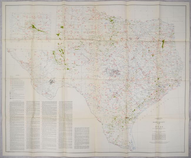
This mammoth map of the state was produced under the direction of E.H. Sellards, Director of The University of Texas' Bureau of Economic Geology. It shows the "Occurrences of Useful Minerals, Rocks, Oil, Gas, and other Geologic Substances" with a detailed legend at left identifying oil fields, gas fields, salt domes, bolsom deposits, and more. Below the legend is a comprehensive list of "Minerals and Mineral Substances" that is also keyed to the map. In addition to the geology, the map shows good base data including counties, cities and towns, rivers, railroads, and more. The panhandle continues in an inset at top left. An overall attractive and information-packed map with no past sales records in the last 40 years.
References:
Condition: B+
Clean and colorful with a number of short splits at the fold junctions.