Subject: Dallas, Texas
Period: 1945 (dated)
Publication:
Color: Printed Color
Size:
19.3 x 23.6 inches
49 x 59.9 cm
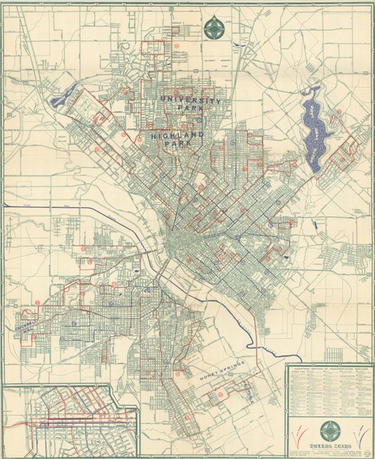
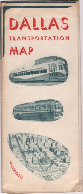
A detailed street map of the city extending to University Park in the north and Honey Springs in the south. Shows detailed routes of street cars, motor coaches and feeder coaches along with real estate development. Includes an inset of the business district at lower left, while the verso contains a street index and transportation schedules. Issued in 1942 and updated here to June 1945. Self-folding into pictorial wrappers (4.0 x 9.7"). Published by the Dallas Railway & Terminal Company. OCLC notes only one example of this 1945 edition map.
References:
Condition: B+
Issued folding on a bright sheet with a 4" fold separation that has been closed on verso with archival tape.


