Subject: Virginia
Period: 1846 (dated)
Publication:
Color: Hand Color
Size:
15.1 x 12.7 inches
38.4 x 32.3 cm
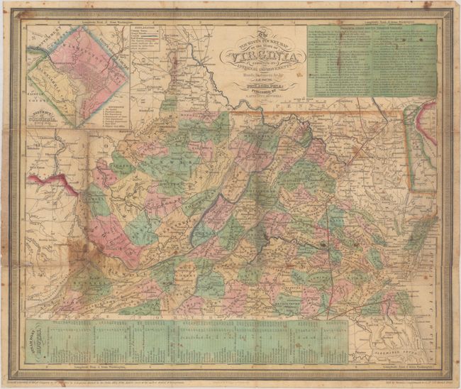
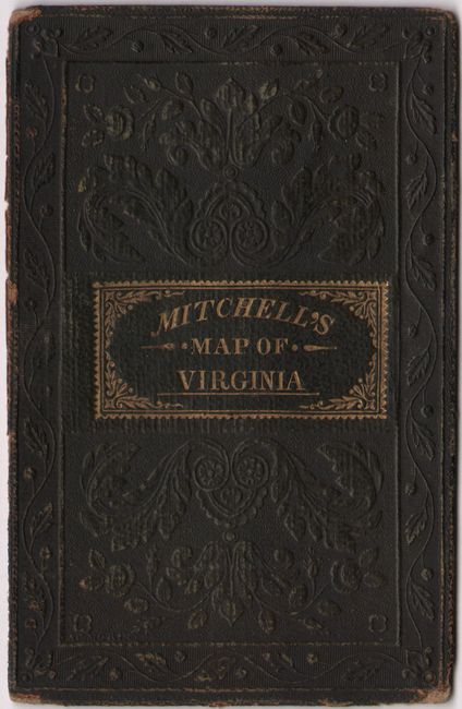
This pocket map of the state shows county development current to 1843 with Barbour County being organized in present-day northern West Virginia. It shows good detail of topography, rivers, towns and settlements, and only a handful of railroads are shown at this time: Baltimore to Washington/Cumberland/Winchester, Fredericksburg to Richmond/Petersburg/North Carolina border, Gordonsville to Hanover, and Portsmouth to the North Carolina border. Additionally, a canal along the James River connects Richmond to Lynchburg. Features an inset of the District of Columbia at top left and a table showing stage routes through Virginia at top right. Engraved by E. Yeager and F. Dankworth. The map is detached from the boards and just the front cover is present.
References:
Condition: B
Issued folding with some light soiling and staining. A number of short fold separations have been archivally repaired on verso. The map is detached from the boards and just the front cover is present.