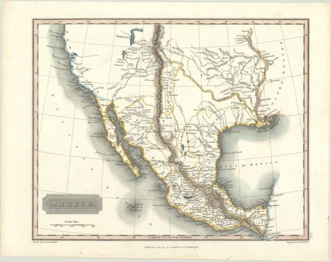
Subject: Western United States & Mexico
Period: 1817 (dated)
Publication: A New General Atlas...
Color: Hand Color
Size:
9.8 x 7.8 inches
24.9 x 19.8 cm
This attractive map depicts the provinces of Mexico, spanning from Lake Tipanogos (Great Salt Lake) south to Campeche. Texas is not named on the map. The west coast is labeled New Albion with several place names located along the coast including San Francisco and San Diego, but the Great Basin region is almost entirely blank. The topography and river systems are well represented. Published by A. Constable in Edinburgh. Engraved by Sidney Hall.
References:
Condition: A
A crisp impression on a bright sheet with a watermark dated 1817 and faint dampstaining at bottom right.