Subject: Mexico & Central America
Period: 1911 (published)
Publication:
Color: Printed Color
Size:
24 x 17.6 inches
61 x 44.7 cm
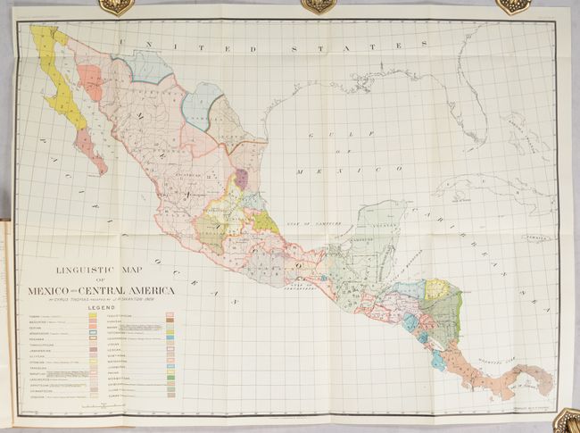
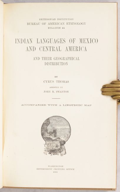
This colorful thematic map by Cyrus Thomas presents the numerous linguistic families in present-day Mexico and Central America. The work behind this map began in 1895, a few years after John Wesley Powell's Map of Linguistic Stocks of American Indians Chiefly within the Present Limits of the United States, but Powell's death and shifting departmental priorities delayed its publication. A color-coded legend at left identifies 30 different native groups using both color and texture, with the Tamulipecan and Mayan groups covering the largest land area. In addition to linguistics, the map shows political boundaries, some cities, and the river systems. The map is bound into the back of Thomas' 108-page report. Hardbound in beige buckram.
References:
Condition: A
Folding map is clean and bright. Text has pleasant light toning, and the covers have some minor soiling.


