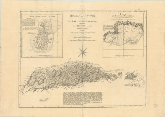
Subject: Roatan, Honduras
Period: 1779 (dated)
Publication:
Color: Black & White
Size:
23.8 x 18 inches
60.5 x 45.7 cm
Finely engraved chart featuring the island of Ruatan, known today as Roatan. In the 18th century New Port Royal was the location of a pirate settlement after the earthquake destroyed the original Port Royal in Jamaica. Two large insets: "Vieille Providence et Sta. Catalina" and "Port du Nouveau Port Royal." These charts are extremely detailed and show the locations of settlements, forts, reefs, safe harbors, and fresh water. A large compass rose occupies the center of the chart, which was created by Lieutenant Henry Barnsley with improvements by Thomas Jeffreys and issued here by Le Rouge. Segmented and linen backed with a vellum tab labeled in manuscript brown ink on verso.
References:
Condition: B+
A nice impression on a sheet with the watermark of the Maltese cross encircled by rosary beads. There is light toning, faint offsetting, and a few spots of light dampstaining along the centerfold.


