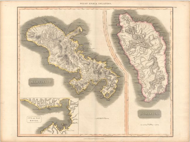
Subject: Martinique & Dominica
Period: 1814 (circa)
Publication: Thomson's New General Atlas
Color: Hand Color
Size:
23.4 x 19.7 inches
59.4 x 50 cm
This sheet includes two copper engraved maps with common borders detailing the islands of Martinique and Dominica. The map of Martinique includes a large inset titled Cul de Sac Royal that shows towns, buildings, and the hospital. Both maps show good detail of topography, watershed, towns, and shipping channels. Thomson's publishing business prospered between 1813 and 1869. His maps are noted for their accuracy, strong impression, and fine engraving. Engraved by Kirkwood & Son.
References:
Condition: B+
Contemporary color on a sturdy sheet with an "1815" watermark, light soiling and soft creases at bottom right. There is a short, archivally repaired edge tear that just touches the neatline at bottom, and a pair of wormtracks appear in the upper corners of the sheet, well away from map image.


