Catalog Archive
Auction 198, Lot 304
"Karte von der Insel Grenada und den Grenadillen in Nord America, Unter den Zwolften Grad der Breite", Bellin, Jacques Nicolas
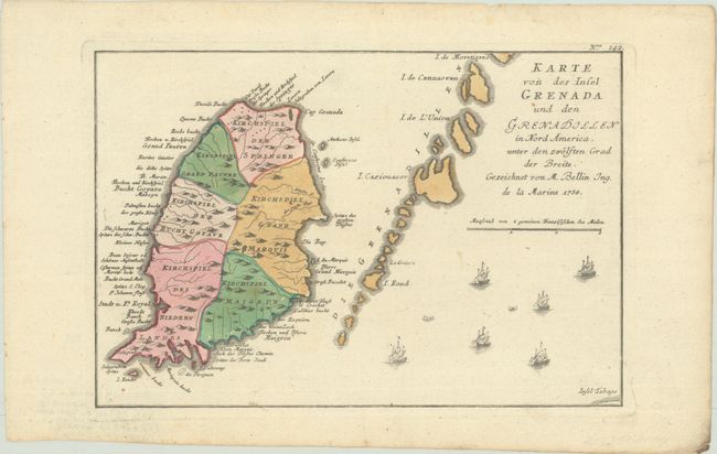
Subject: Grenada
Period: 1758 (dated)
Publication: Geschichte der Kriege in und Ausser Europa
Color: Hand Color
Size:
11.4 x 7.8 inches
29 x 19.8 cm
Download High Resolution Image
(or just click on image to launch the Zoom viewer)
(or just click on image to launch the Zoom viewer)