Subject: South Pole
Period: 1776 (published)
Publication: Gentleman's Magazine
Color: Hand Color
Size:
8.5 x 8.4 inches
21.6 x 21.3 cm
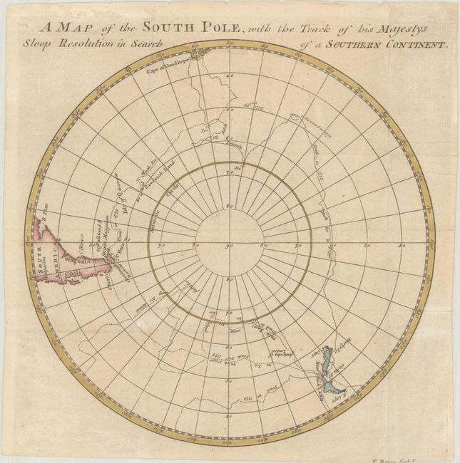
This circular map traces Captain Cook's icy, foggy route as he searched for the southern continent on his second voyage (1772-75). It was published in the January 1776 issue of Gentleman's Magazine. The HMS Resolution was not only the first ship to cross the Antarctic Circle, but it did so two more times on the same voyage. This voyage proved that Alexander Dalrymple's vast Terra Australis Incognita was a myth. Southern South America, the Cape of Good Hope, and New Zealand are all depicted.
References: Jolly #GENT-241.
Condition: B+
Issued folding, now flat, on a lightly toned sheet with minor spots and a tiny hole that has been closed on verso with archival materials. Bottom margin was trimmed by the bookbinder so that a sliver of engraver's imprint is missing, and a binding trim at top right has been replaced with old paper.


