Catalog Archive
Auction 198, Lot 346

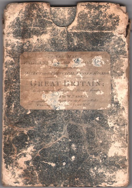
"A Map of England, Wales, & Scotland, Describing All the Direct and Principal Cross Roads in Great Britain...", Faden, William
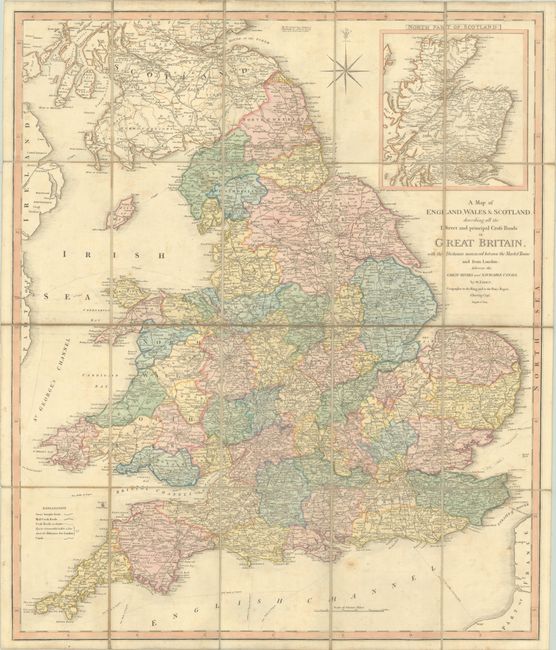
Subject: Britain

Period: 1819 (dated)

Publication:

Color: Hand Color

Size:
24.1 x 28.6 inches
61.2 x 72.6 cm
Download High Resolution Image
(or just click on image to launch the Zoom viewer)

This attractive folding road map of Britain features Faden's typical detail and crisp engraving style. The counties of England and Wales are delineated, and towns and cities, turnpikes, rivers, canals, and mail coach roads are located. Scotland is shown as far north as Perthshire, with the northern portion of the country appearing in an inset at top right. Dissected and backed in linen. It slides into the original marbled paper-board slipcase with printed paper label.

References:

Condition: B+

A nice impression with full contemporary color, issued folding with light scattered foxing, minor soiling, and faint offsetting. The slipcase is worn and torn, with a couple of worm tracks.

Estimate: $240 - $300

Sold for: $180

Closed on 6/19/2024

Archived