Subject: England & Wales, Atlases
Period: 1777 (published)
Publication:
Color: Hand Color
Size:
8.8 x 10.6 inches
22.4 x 26.9 cm
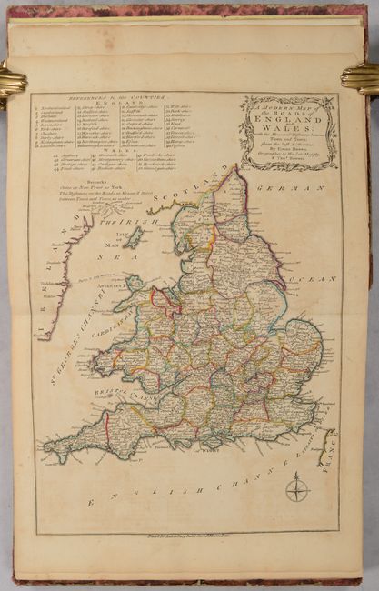
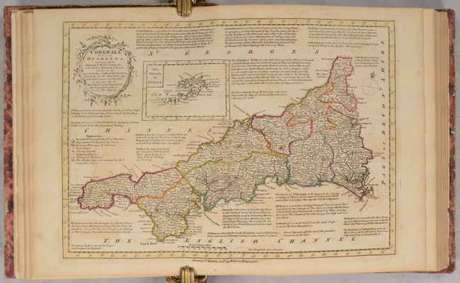
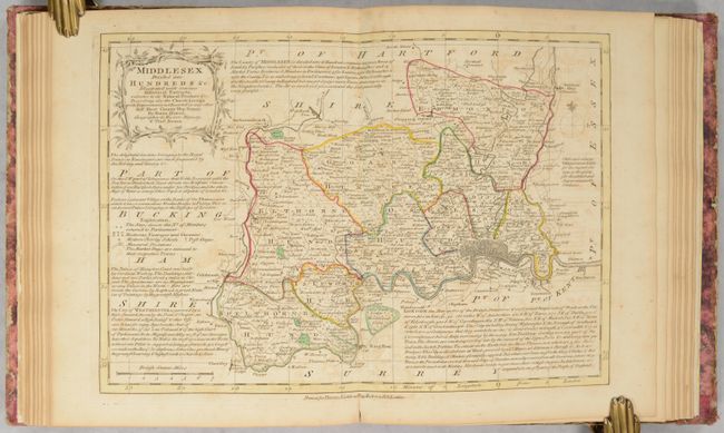
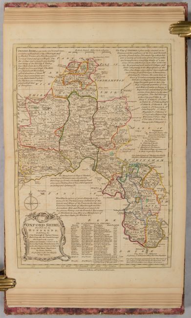
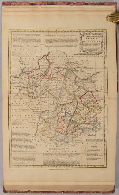
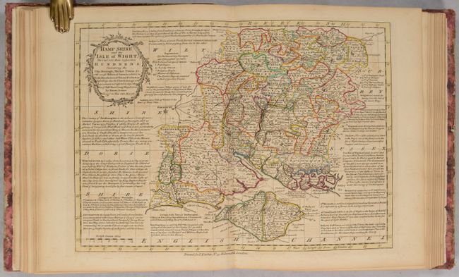
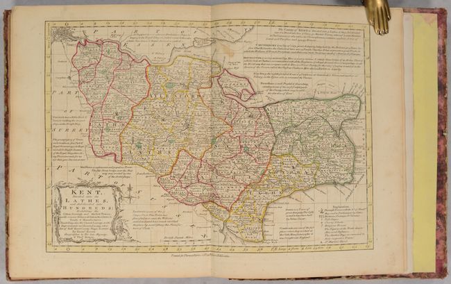
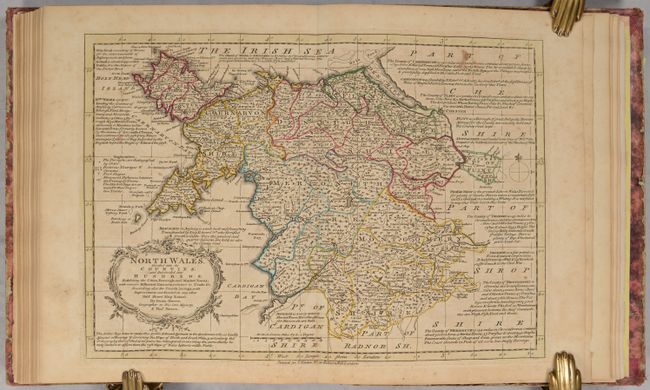
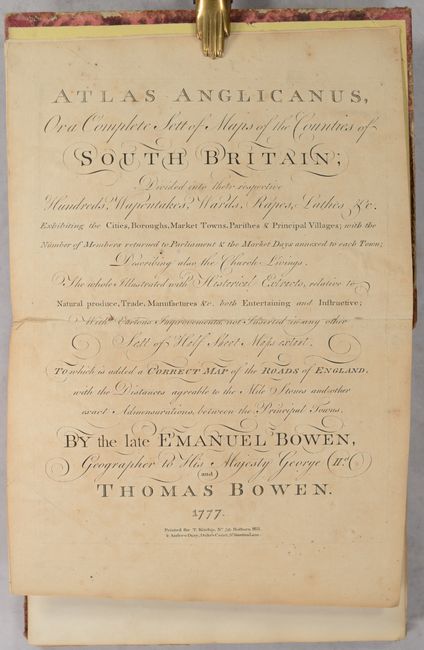
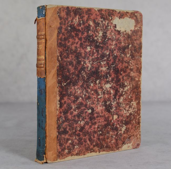
This is a complete example of the second edition of Emanuel and Thomas Bowen's Atlas Anglicanus, printed for Thomas Kitchin and Andrew Dury. The first edition was originally published in monthly installments from early 1767 until mid-1768, with Thomas Bowen continuing the project after his father Emanuel's death in May 1767. The maps are based on the elder Bowen's The Royal English Atlas (ca. 1764), an unsuccessful reduced version of his The Large English Atlas. It features two maps of England and Wales, one showing counties and the other a "Modern Map" emphasizing the roads. The remaining 43 maps cover the counties in remarkable detail, with the hundreds delineated and extensive notes on major towns and cities, distances, and history. There is a general map of Yorkshire, as well as three individual maps detailing its East, West, and North ridings. Although the atlas is dated 1777 on the title page, a publication date of 1776 is more likely. All of the maps have the imprint of Kitchin, with the exception of the road map of England and Wales, which features Dury's imprint. Quarto; 44 double-page maps. Quarter leather over marbled boards.
References: Shirley (BL Atlases) T.BOW-5c.
Condition: B+
Condition code is for the maps, which all have contemporary outline color on lightly toned sheets with light offsetting and occasional foxing and soiling. The title page and first general map of England and Wales have been backed in paper to reattach them into the volume. The covers are heavily worn with bumped corners and abrasions, and the front cover is nearly detached. Only a fragment of the spine remains, which has been reattached upside down with binder's glue.


