Catalog Archive
Auction 198, Lot 371

"Carte Reduite de Partie de la Mer du Nord Comprise Entre l'Ecosse, le Dannemark, la Norwege et l'Islande pour le Service des Vaisseaux du Roy...", Bellin, Jacques Nicolas

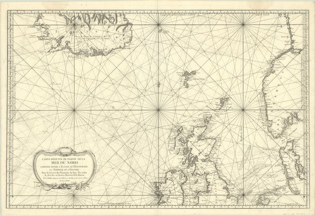
Subject: North Sea, Norwegian Sea, Iceland

Period: 1768 (dated)

Publication:

Color: Black & White

Size:
34 x 22.3 inches
86.4 x 56.6 cm
Download High Resolution Image
(or just click on image to launch the Zoom viewer)

This large and highly detailed sea chart covers the Norwegian and North seas. It extends from Iceland to Norway and goes as far south as Cardigan Bay in Wales and the Zuiderzee in the Netherlands. Place names and fine topographical detail line the coasts, with very little inland information. The seas are crisscrossed with rhumb lines with some depth soundings and banks. This is an early state, prior to the addition of the engraved seal of the Depot de la Marine or a en engraved price. An ornate title cartouche with a small vignette of a ship at sail adorns the bottom left corner.

References:

Condition: B+

A dark impression on a bright, sturdy sheet with the watermark of a double-headed eagle wearing a crown. There is printer's ink residue, offsetting, and two faint dampstains at top that just enter the map border.

Estimate: $400 - $475

Unsold

Closed on 6/19/2024

Archived