Catalog Archive
Auction 198, Lot 374

"Carte des Estats de la Couronne de Suede avec des Remarques et des Tables Tres Instructives", Chatelain, Henry Abraham

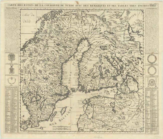
Subject: Scandinavia, Sweden

Period: 1720 (circa)

Publication: Atlas Historique

Color: Black & White

Size:
23.1 x 19.6 inches
58.7 x 49.8 cm
Download High Resolution Image
(or just click on image to launch the Zoom viewer)

This map shows most of Finland, Sweden, and Norway, save the northern reaches, and includes much of the Baltics. The map extends into Russia to locate Nyskantz F. de la Nie (St. Petersburg) and westward to include Zealand. It is precisely engraved to include scores of towns and villages, watershed, and coastal details. With French text and coats-of-arms at the sides.

References:

Condition: B+

A dark impression on a bright sheet, issued folding with light soiling and several small holes and separations along the folds that have been repaired on verso.

Estimate: $140 - $170

Unsold

Closed on 6/19/2024

Archived