Subject: Netherlands
Period: 1960 (circa)
Publication:
Color: Printed Color
Size:
10.3 x 14.5 inches
26.2 x 36.8 cm
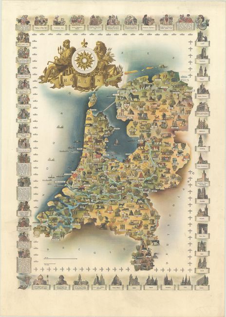
This is the reduced version of the Economic Information Service's spectacular pictorial map of the Netherlands. Given that it was designed for the Economic Information Service, it is no surprise that the landscape is covered in illustrations highlighting the country's industry, resources, and exports. The border is a chain of international vignettes showing customary dress and architecture from all over the globe, with an inner border of silhouettes of ships and airplanes. The ornate title cartouche incorporates allegorical figures and imagery tied to shipping and agriculture.
References: cf. Rumsey #8842.
Condition: A
A crisp and colorful example with minor soiling and creasing.


