Catalog Archive
Auction 198, Lot 388

"Groninga Dominium", Mercator/Jansson

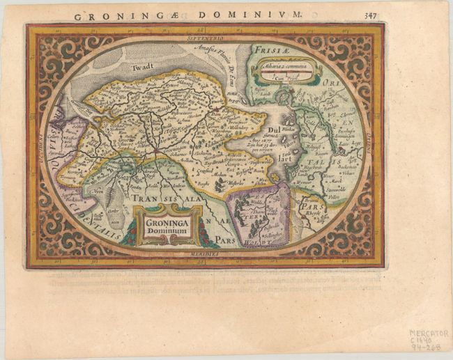
Subject: Northern Netherlands

Period: 1634 (published)

Publication: Atlas Minor

Color: Hand Color

Size:
7 x 4.8 inches
17.8 x 12.2 cm
Download High Resolution Image
(or just click on image to launch the Zoom viewer)

This oval map of the province of Groningen and the Ems estuary is enclosed in a decorative strapwork surround. It shows Gronningen, Netherlands on the left and Emden, Germany on the right. The map shows the Dollert (Dollart), a large basin in the estuary, with a note about the 1277 flooding of the villages when it formed. Despite its small size, there is much detail shown on the map. This is the second state, with Cum Privil. added below the distance scale. Latin text on verso.

References: Van der Krogt (Vol. III) #3950:363.

Condition: A+

A sharp impression on a bright sheet.

Estimate: $140 - $170

Sold for: $100

Closed on 6/19/2024

Archived