Catalog Archive
Auction 198, Lot 406

"Alsatia Inferior", Mercator/Hondius

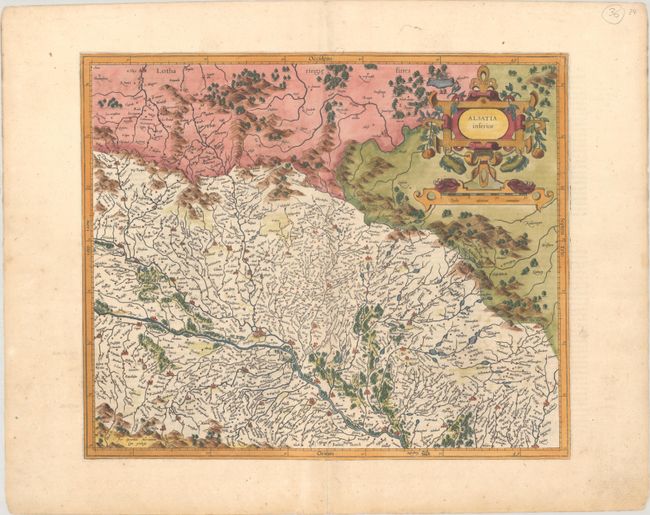
Subject: France & Germany, Rhine River

Period: 1611 (circa)

Publication: Gerardi Mercatoris - Atlas sive Cosmographicae…

Color: Hand Color

Size:
16.9 x 14.1 inches
42.9 x 35.8 cm
Download High Resolution Image
(or just click on image to launch the Zoom viewer)

A handsome map of the region around Strasbourg and the Rhine River, with west oriented at the top. The decorative strapwork cartouche incorporates the distance scale. Fully engraved to illustrate the rivers, forests and mountains and locates hundreds of tiny villages. Latin text on verso, published between 1611-12.

References: Van der Krogt (Vol. I) #2521:1.1.

Condition: A

A crisp impression on watermarked paper with a couple of minor archival tape repairs in the blank margins.

Estimate: $200 - $230

Sold for: $150

Closed on 6/19/2024

Archived