Subject: France & Spain
Period: 1675 (circa)
Publication:
Color: Hand Color
Size:
22.5 x 19.2 inches
57.2 x 48.8 cm
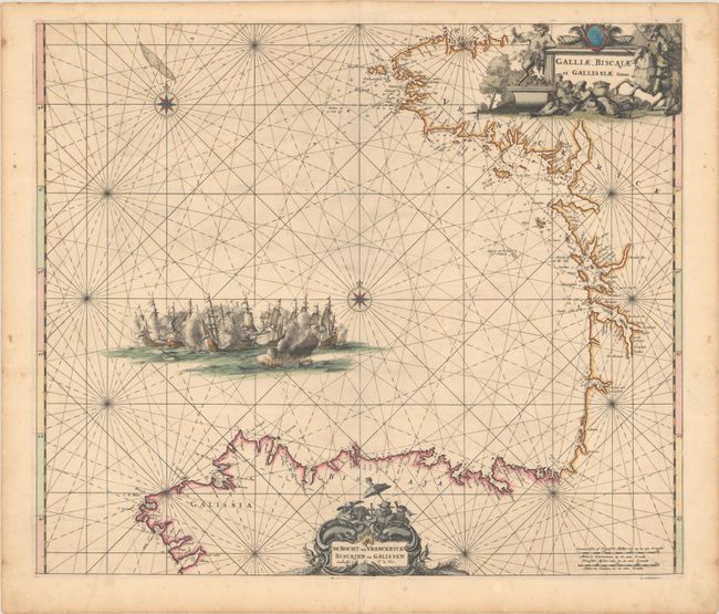
This is the first state of De Wit's map that details the coastline of the Bay of Biscay from Bretagne, France to Galicia, Spain. Place names, rocks, shoals, and anchorages are noted along the coastline. A large sea battle is depicted in the bay, and two decorative cartouches fill the blank interiors of France and Spain. The cartouche in France features a faun with grapes and citizens imbibing wine, while the cartouche in Spain features a cartographer and a pair of sea monsters.
References: Carhart (De Wit) #C17.
Condition: B+
A crisp impression with full contemporary color with gilt highlights. There is a bit of printer's ink residue, faint foxing, and an archivally repaired centerfold separation at bottom.


