Catalog Archive
Auction 198, Lot 412
A Map Highlighting the Conquests of Louis XIV
"Le Royaume de France et les Conquetes de Louis le Grand", Lotter, Tobias Conrad
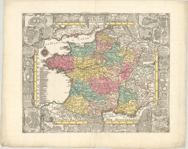
Subject: France
Period: 1760 (circa)
Publication:
Color: Hand Color
Size:
22.6 x 18.4 inches
57.4 x 46.7 cm
Download High Resolution Image
(or just click on image to launch the Zoom viewer)
(or just click on image to launch the Zoom viewer)