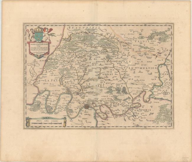
Subject: Northern France, Paris
Period: 1646 (circa)
Publication: Atlas Novus
Color: Hand Color
Size:
18.3 x 13 inches
46.5 x 33 cm
Decorative map of Paris and the surrounding region including Pentioise, Senlis, and Meaux. This map of the environs of Paris was based on a manuscript map attributed to Francois de la Guillotiere and in the possession of Pierre Pithou; both of which are mentioned in the title cartouche. Latin text on verso, published between 1646-57.
References: Van der Krogt (Vol. I) #4300:1A.2.
Condition: B+
A dark impression with full contemporary color on a lightly toned sheet. Huge margins with centerfold separations well away from image and a pair of edge tears at bottom left that have been archivally repaired.