Catalog Archive
Auction 198, Lot 423

"Les Environs de Rochelle et Rochefort avec les Isles d'Oleron et de Re", Seutter, Albercht Karl

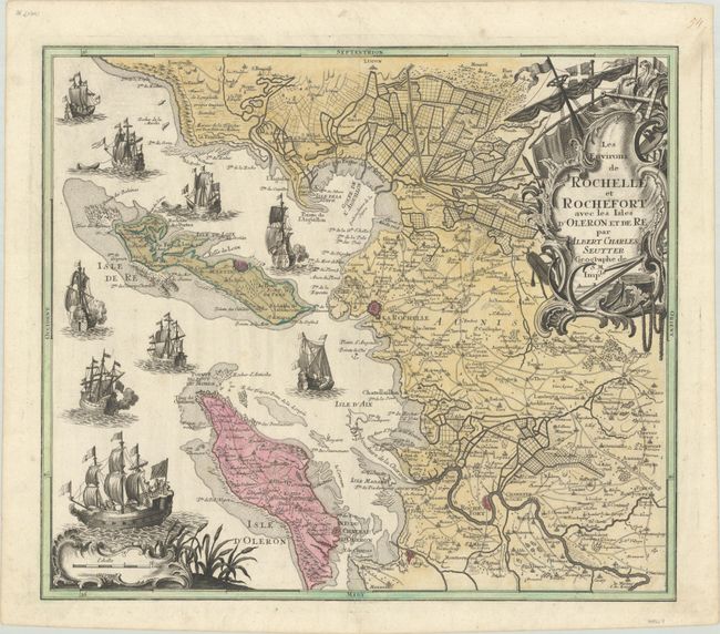
Subject: Western France

Period: 1755 (circa)

Publication:

Color: Hand Color

Size:
22.1 x 19.3 inches
56.1 x 49 cm
Download High Resolution Image
(or just click on image to launch the Zoom viewer)

Decorative features dominate this map of western France including numerous ships in the Atlantic Ocean and an ornate title cartouche featuring a ship's mast, large anchor, and several mapping instruments. The map itself extends from Longeville to Brouage along with the islands of Ile de Re and Ile de Oleron. The fortified cities of La Rochelle, Saint Martin and Rochefort are located along with an elaborate network of canals above Charron.

References:

Condition: A

A crisp impression with full contemporary color. There is a small printer's crease along the lower border.

Estimate: $180 - $220

Sold for: $130

Closed on 6/19/2024

Archived